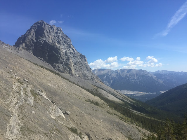
I have a bit of a ticking campaign in motion this year. I'm trying to climb the peaks that are visible along Highways 40 and 1, between the Highwood Pass and Banff. There are quite a lot of them, and some are probably too hard/loose/obscure, but prominent in anybody's list of notable summits would be the Three Sisters, which have featured in numerous books, films, and pub patio views over the years. Of the three, Big Sister is the highest, Little Sister the most difficult, and Middle Sister the most distant from the road.
The trail begins with a painful detour around a construction site and golf course that threatens to add ~5 km to your day. The access constraints seem to change monthly, and at 8 AM on a Sunday, you're unlikely to see too many property developers or golfers (which are essentially the same species), so I shan't describe the start. Once you're in the Stewart Creek canyon, the trail soon vanishes under flood debris, and you're in for 6 km each way of climbing over boulders. It was hot on the day we did this - around 32 C in town - and we carried a lot of water. The creek was flowing, but you never know when it'll dry up for the summer. If you decide to rely on it, bear in mind that we saw two marmot colonies living right alongside the water, so you'll likely want to filter the water for nasties.
We began the trip with a dislocated shoulder just 100 m from the golf course. Mike was in a bit of pain from this, but fortunately it popped in just as suddenly as it had come out, and he could continue, but without his poles. He gave those to Jason, who was lacking his own poles due to an incident involving a kleptomaniac marmot and a video camera. It was a great film, but it came at a price...
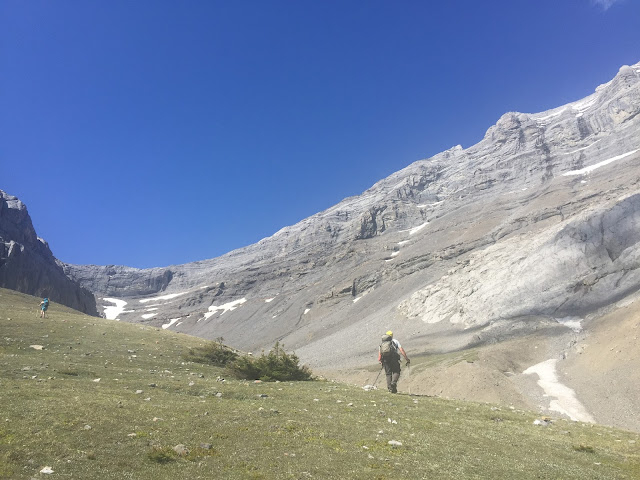
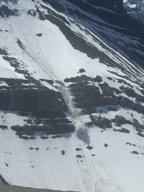
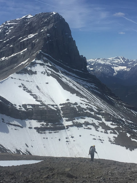
The crux of the hike is an erosion scar on the left-hand bank just before a grassy ridge is attained. The ground is pretty scrabbly, and it's easy to shower your group with loose rocks. Poles help a lot. Above this, the ridge is a pleasant place to sit and admire the view. The next part is a scree slog, and passes under 500 m or so of early-season objective danger. The slopes of Big Sister hold snow and boulders, which become mobile after a few hours of sunshine.
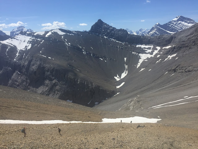
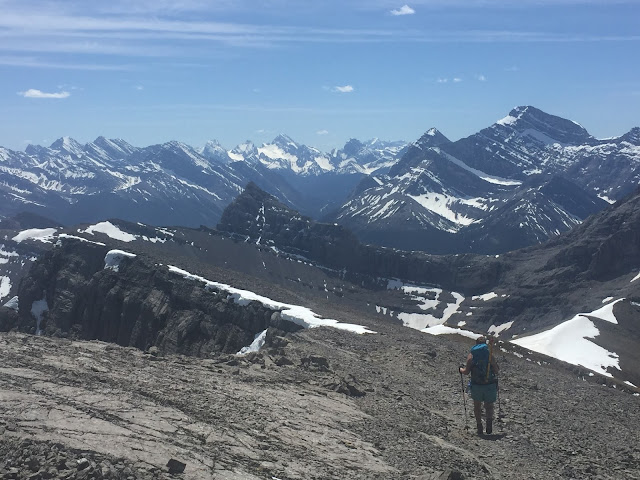
The scree continues up a giant ramp for about a kilometre, right to the summit - which is the farthest point that you can see on the way up, and the last point on the ramp before the impressive cliffs that separate Middle and Little Sister. The apparent height difference between them when seen in classic profile is an optical illusion; there is actually very little vertical difference, whereas Big Sister appears to be a long way above you. From the summit of Middle Sister we traced the line of the easiest ascent route, which is a rock climb graded about 5.3. It looked unpleasantly loose, and the approach would be a bit of a pig. That objective instantly slipped down my hit list! The views towards Commonwealth Peak and Mt Bogart were excellent.
While relaxing on the summit, we saw an avalanche cascading down Big Sister from slopes similar to those that threaten the Middle Sister ramp. On the descent, we sped as fast as possible down the exposed section, not stopping until we reached the safety of the grassy ridge opposite.
Because we were a large group (six people) we wanted to avoid the loose crux slope. We followed a vague trail into trees to the east of it, and spent a questionably enjoyable few minutes fighting our way down steep ground, unable to see our feet. It was safer, but not very pleasant. At least there was no Devil's Club to contend with, though! Afterwards, all that remained was the trudge back down Stewart Creek, rounding off 18 km of rough hiking and 1500 m of ascent. Mike celebrated with an agonizing cramp in his legs, just shy of the golf course. I'd told him earlier that golf courses are evil places, and here was the proof!








No comments:
Post a Comment